Help us better understand how people use and experience public rights of way and access to the countryside by completing our short survey.
A public right of way is a route which the public has a legal right to use. They can be broken down into 4 categories, each with different legal status:
- footpaths - may be used for walking, running, mobility scooters or powered wheelchairs
- bridleways - may be used for walking, riding or leading a horse, mobility scooters or powered wheelchairs or cycling (cyclists must give way to pedestrians and riders)
- restricted byways - for any transport without a motor and mobility scooters or powered wheelchairs
- byways - can be used by wheeled vehicles of any kind, but predominantly used for walking, riding horses or cycling
Public right of way map
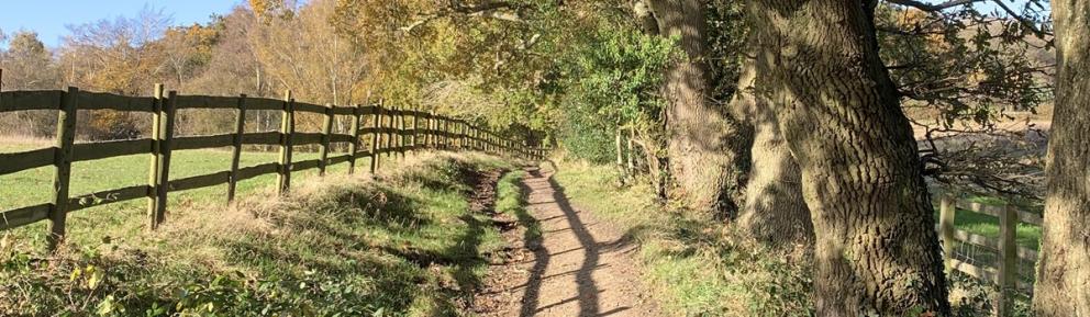
There are 80 kilometres, 49.7 miles of public rights of way in Bracknell Forest.
You can find rights of way using our online map.
Once you have opened the map, simply zoom in to view public rights of way in the borough.
View the public rights of way map
Use the 'layer list' in the top right corner of the green banner to access additional features such as:
- furniture, such as gates and stiles
- restrictions through permanent traffic regulation orders (with specific limitations to use)
Information about these features is provided to better help you plan your visit or route. Features are correct as of December 2025.
Other routes
We have an extensive network of rights of way which link to cycleways, permissive routes and open spaces.
A green lane
This is an unsurfaced track usually bounded by hedges and often established a long time ago. The term has no legal meaning. If there is a public right of way along such a track, it will be classified under one of the above headings
Permitted paths
These are not highways they are routes that landowners allow the public to use, sometimes for a set period of time. They can be closed at any time but often form valuable links in the path network. We encourage these (although not as alternatives to recorded public rights of way) and can provide advice and signs if you want to establish such paths.
For more information about types of rights of way, visit rights of way and accessing land on GOV.UK.
Promoted routes
We promote a number of recreational routes in the borough. These run through attractive natural open spaces that have excellent facilities, and in some cases follow public rights of way. See our countryside walks page for more information.
Report a problem
If you have found a problem with a public right of way in Bracknell Forest, fill in our enquiry form and our team will investigate the issue.
Issues might include:
- crop spraying
- animals (bulls, dogs)
- bridges
- electric fences and barbed wire
- intimidation and nuisance
- obstructions
- ploughing and cropping
- signposting and way marking
- stiles and gates
- surface
Report a problem with a public right of way
If you think the rights of way issue poses a risk to public safety, call our customer services team immediately on 01344 352000.
This form should not be used to report problems with highways or pavements. Please use the report potholes and other road damage form instead.
Report potholes and other road damage
Responsibilities
Highway authority
As the Highway and Surveying Authority, we make sure that public rights of way are usable, safe, legal and enjoyable.
For more information about responsibilities, visit local highway authority responsibilities on GOV.UK.
See how we’re working in partnership to improve local rights of way on our improvement plan page.
Landowners
As the owner or occupier of land with a public right of way across it, you must keep the route visible and not obstruct or endanger users.
See guidance about landowner responsibilities on GOV.UK.
Users
When using public rights of way you should follow the Countryside Code, for example:
- follow local signs and keep to marked paths
- protect the environment - take care of nature, take your litter home, do not light fires, dog poo - bag it and bin it
- respect private property - leave gates and property as you find them
- give wild animals, livestock and horses plenty of space and do not feed them as it can cause harm - see guidance from the British Horse Society
If you are concerned about a CCTV camera or you are unhappy about being recorded, you can request to see the footage of yourself.