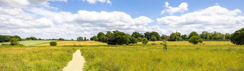
Discover wonderful places to walk, relax and enjoy nature close to home.
Suitable Alternative Natural Greenspaces, or SANGs, are accessible countryside spaces that are ideal places for visitors to explore.
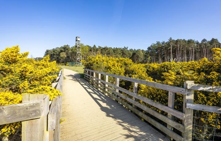
We manage SANGs for recreation and wildlife. Sites often (but not always) contain:
- paths for access – access our circular walks
- waymarkers to help guide your way around
- information panels
- car park
- litter bins, also suitable for dog waste
- seating and picnic areas
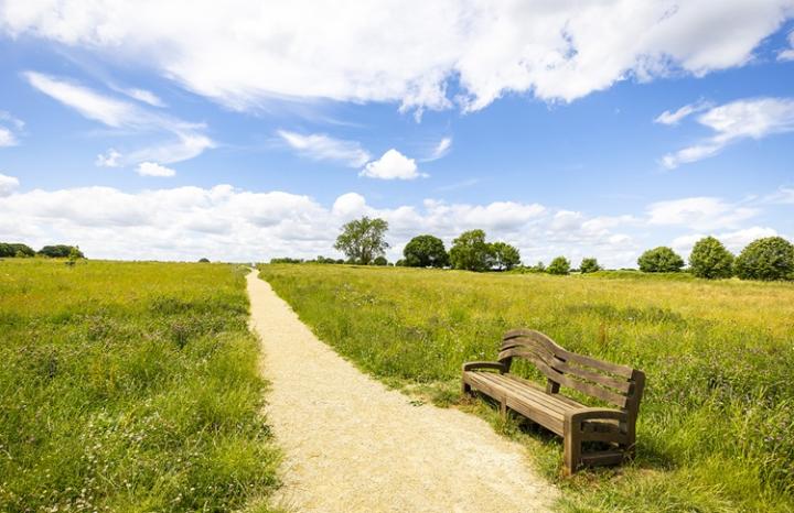
Visitors can also enjoy natural areas, including meadows, woodlands, ponds and orchards. Each SANG is different, but in every case, they allow people to get close to nature.
Why SANGS are important
We manage SANGs for people and wildlife, and to help protect the important Thames Basin Heaths Special Protection Area (SPA).
This is a network of internationally important heathland sites in the south of the borough. It includes sites, such as Wildmoor Heath, and supports rare birds such as the Dartford warbler, woodlark and nightjar. Birds such as these nest on the ground and need a quiet environment to thrive.
Offering beautiful, welcoming outdoor spaces known as SANGS helps to:
- give visitors alternatives to the SPA, giving them other options to explore nature
- decrease visitor numbers to the SPA, protecting its valuable habitats and wildlife
New housing developments must contribute towards improving and maintaining SANGs to help protect the SPA.
Separate contributions also fund the Thames Basin Heaths Partnership. The partnership aims to educate visitors about the Thames Basin Heaths SPA and encourages them to use local SANGs. This helps to protect the Thames Basin Heaths SPA from high visitor numbers.
This is part of our avoidance and mitigation strategy called the Thames Basin Heaths SPA SPD.
SANG sites we manage
The following is a list SANG sites we manage. We have given their approximate location in the borough. Their full location and visiting information are available on each individual site page.
To the north
- Cabbage Hill
- Frost Folly Park
- Piglittle Field (to be transferred to our management)
- Pope's Meadow
- The Cut Countryside Corridor - this forms a circular route linking sites:
- Larks Hill
- Piggy Wood
- Garth Meadows/Pond
- The Three Copses
To the south
- Ambarrow Hill and Court
- Broadmoor Farm Meadows
- Buckler's Forest
- Horseshoe Lake
- Shepherd Meadows
Central
- Lily Hill Park
- The Bullbrook Countryside Corridor – this forms a large circular route linking sites:
- Edmund's Green
- Whitegrove Copse
- Harvest Hill
- The Chestnuts
- Longhill Park
- Milman Close
- Clintons Hill
- Bullbrook Drive
- Beswick Gardens Copse
- West Bracknell - this includes:
To the east
Circular walks
To visit the sites, see our countryside walks page.
There you will find our circular walks leaflet pack. The pack is a list of downloadable PDF maps that will help you plan and enjoy your walks.
Open space management plans
Improvements for each site are set out in an open space management plan. They are designed to be above standard in order to be more attractive to visitors.
Our space management plans (OSMP) and open space enhancement plans (OSEP) are listed below. Please note that some of these plans cover a group of sites.
| Attachment | Size |
|---|---|
Document
Ambarrow Hill and Court OSMP 2021
|
2 MB |
| 4 MB | |
Document
Big Wood OSMP
|
1 MB |
| 2 MB | |
| 852 KB | |
Document
Englemere Pond OSMP
|
1 MB |
| 3 MB | |
Document
Great Hollands OSMP
|
528 KB |
Document
Horseshoe Lake OSMP
|
655 KB |
| 3 MB | |
Document
Lily Hill Park SANG plan
|
763 KB |
Document
Edmunds Green group OSMP
|
2 MB |
| 902 KB | |
Document
Popes Meadow OSMP
|
788 KB |
Document
Shepherd Meadows OSMP
|
500 KB |
Document
Shepherd Meadows North OSMP
|
818 KB |
Document
Tarmans Copse OSMP
|
1 MB |
| 1 MB | |
| 2 MB |